Danielle Lee graduated with a degree in biological systems engineering and wasn’t sure what to do for a career. She liked the problem-solving side of engineering but also yearned for a chance to express herself artistically. In her first post-college job, she worked for a small water resources engineering consulting firm and discovered a technology she’d never used before: a geographic information system (GIS) for making maps.
“It was perfect for me: there was loads of spatial analysis and problem solving, yet at the same time the artistic expression could come through in designing the maps and deciding how to visualize the data,” Lee says. “Let’s just say I fell head over heels.”
Lee decided on a career as a GIS specialist in water resources, but that meant mastering a new set of skills. She couldn’t handle a traditional master’s program, given that she’d gotten married and bought a house. In other words, she had to hold onto her job.
“I needed to find a program that would work with me, where I was at,” she says.
Lee found the perfect solution in the University of Wisconsin-Madison’s Geographic Information Systems Certificate Program. It allowed her to take one class per semester and continue to work fulltime.
“I can’t speak highly enough about the program at UW-Madison,” Lee says. “When I finished it, I moved into a fulltime GIS position at a fantastic environmental engineering company. I was so happy I had the skills I needed to do that.”

Growing demand
The Geographic Information Systems Certificate Program fills a growing demand for geospatial science skills in such fields as economics, conservation, and public health. The graduate-level program provides a mix of GIS theory and practical experience, covering data capture, analysis, modeling, and cartographic representation.
Students can complete the program in a year or attend part-time. It includes an internship that offers hands-on experience and lays the groundwork for getting a job.
Lee appreciated the chance to work with instructors at the highly rated UW-Madison Department of Geography.
“My professors were topnotch, and the thing I liked most about them was their passion,” she says. “They clearly loved their work, and their excitement about GIS was contagious.”
During her very first semester in the Geographic Information Systems Certificate Program, Lee started applying her new skills on the job.
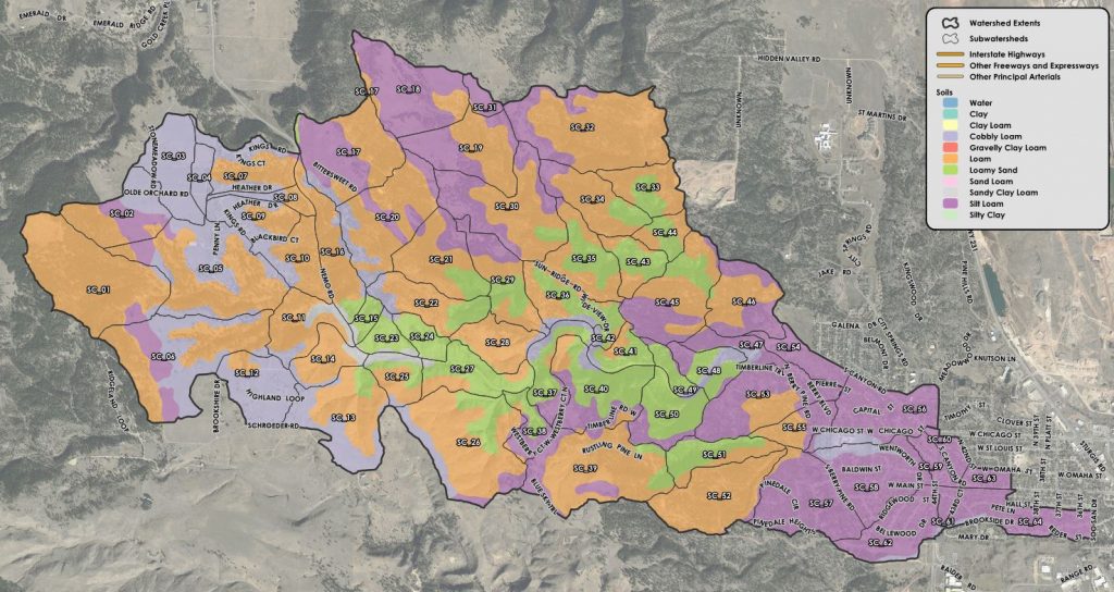
“My workplace saw the positive benefits of the classes I was taking, particularly a class in cartography,” she says. “They were very impressed with the caliber of maps we started producing as a company, and it raised the bar on the quality of our work as a whole.”
Lee finished the program with an extensive portfolio and the qualifications necessary to land her dream job.
“I had the feeling that I knew not only the backbone of GIS, but where the cutting edge was,” she says. “I was able to find a career with a new company where I am immensely satisfied with my work and am constantly working on cool projects.”
For more information about the Geographic Information Systems Certificate Program, see here.